Next 72 Hours
Seas & wind near the Big Rock
Seas in feet, wind in knots. National Weather Service forecast for a point roughly 35 to 40 nautical miles southeast of Beaufort Inlet. A wave period of 6 seconds or less means short, steep chop.
Official Forecast
Offshore waters · 20 to 60 nautical miles
Loading forecast…
NWS zone AMZ188, waters from Cape Lookout to Surf City. NWS Marine Portal ↗
Measured, Not Forecast
Live buoys & water temperature
Loading buoys…
Water temperature heading out toward the Big Rock
Loading satellite water temperature…
Buoys: NOAA National Data Buoy Center, tap a buoy for its full record. Water temperature line: NASA satellite daily analysis along a line running southeast from Beaufort Inlet. A jump of several degrees marks the edge of the Gulf Stream.
Getting Out and Back
Inlet crossing · Beaufort Inlet
Loading tides…
Tide predictions from the NOAA gauge at Beaufort. The current in the inlet can turn somewhat later than the listed time. Full inlet conditions on the Beaufort page →
Light and Moon
Sun & moon
Calculating…
Times for Beaufort Inlet. Major and minor windows are the traditional solunar guide to feeding times.
BITING OFFSHORE THIS MONTH
Radar loop
Full radar ↗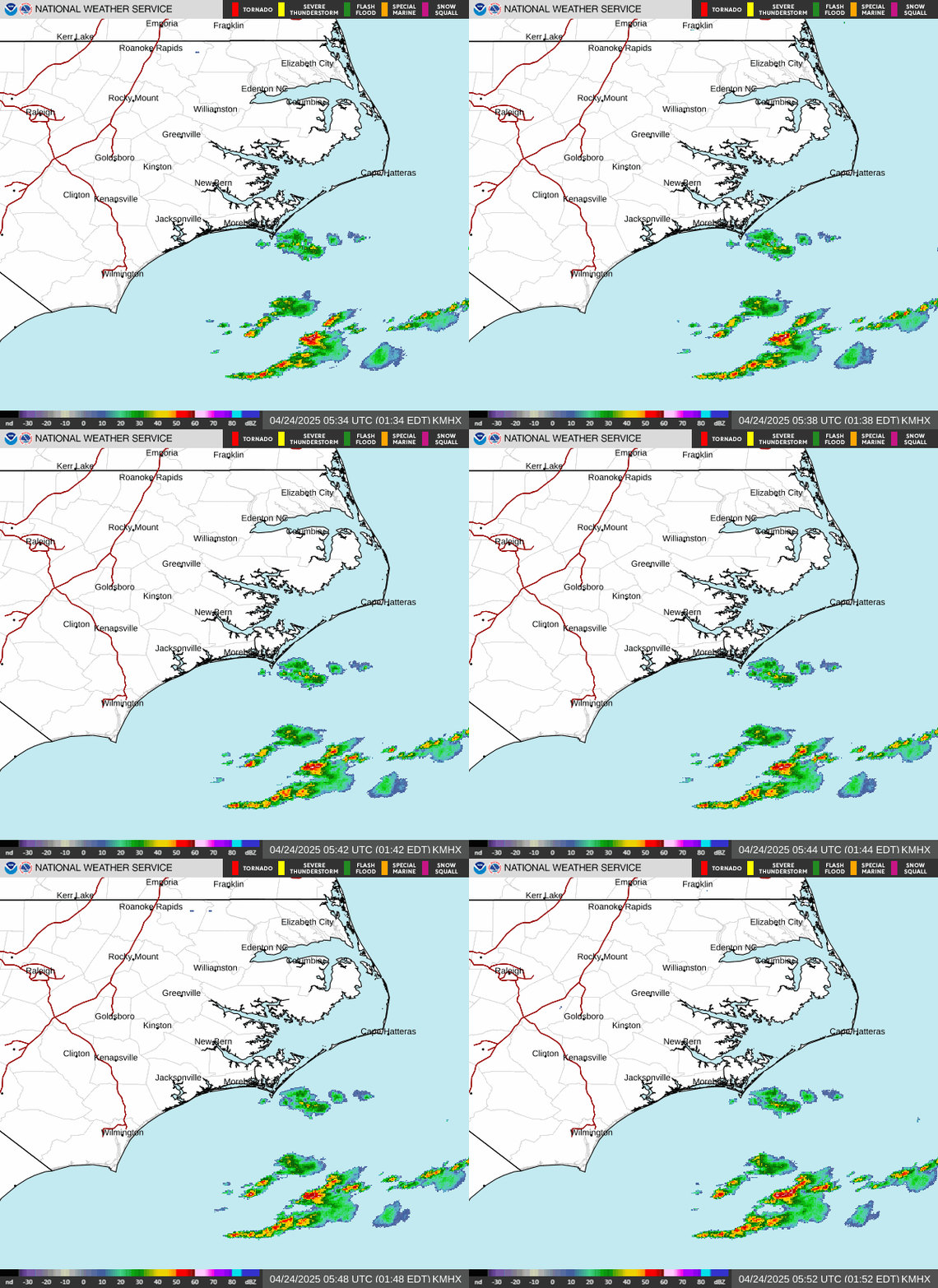
NWS radar at Newport. Coverage fades beyond about 100 nautical miles offshore.
Offshore season calendar
Dark = peak · Light = present · Outlined = currentGeneral seasonal guide for the waters off Morehead City and Beaufort. Runs shift with water temperature, and federal seasons and limits change; check current rules before keeping fish.
Offshore reference map
Reference markers are approximate. Not intended for marine navigation.
Before You Run
Gulf Stream charts & tournament
Big Rock Blue Marlin Tournament ↗June 11 to 20, 2027, Morehead City. Official schedule, rules and leaderboard.
FishTrack ↗Sea surface temperature and chlorophyll charts for finding Gulf Stream edges.
ROFFS ↗Paid fishing forecast analyses used by tournament crews.
All NOAA buoys ↗Full station map and history for every buoy off the coast.